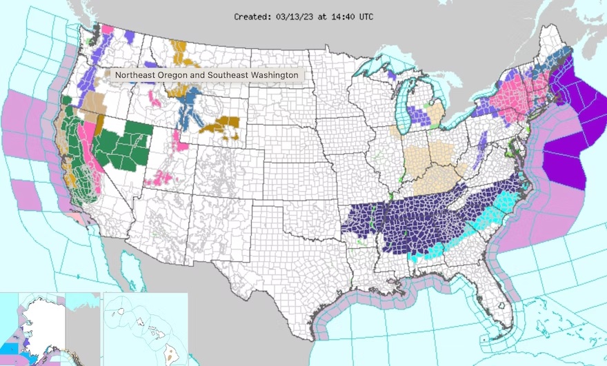
If you plan on driving up the East Coast and into the Northeast within the next few days, make sure you are ready for some difficult winter weather. The National Weather Service is predicting a significant Nor’easter that will bring strong winds and up to 18 inches of snow, or possibly even more, to areas of the Northeast, including the interior of New England and much of New York. This weather event is expected to begin later today and continue through Wednesday.
According to the weather service, a storm system that is currently over the Great Lakes will merge with another one moving through the South and up the East Coast. This combination will create the perfect conditions for a classic Nor’easter, with high winds, heavy snowfall, and coastal flooding starting tonight.
“Heavy snow rates (2 inches plus per hour) and strong winds will produce dangerous to impossible travel.” according to the weather service. “The heavy-wet nature of the snow, combined with max wind gusts up to 50 mph, will result in scattered to widespread power outages and tree damage. Similar impacts could be felt along the I-95 corridor from New York City to Boston.”
As the storm is approaching, the New York State Thruway Authority has announced that tandem and empty tractor-trailers will be restricted from using the Thruway (I-87/I-90) starting today, March 13 at 8 p.m. The ban will be in effect from I-87 exit 17 (Newburgh – Scranton – I-84) to I-90 exit 36 (Watertown – Binghamton- I-81), as well as along the entire length of the Berkshire Spur (I-87 exit 21B to the Massachusetts border).
The weather service reports that California is preparing for yet another round of heavy rain starting late today and continuing through Wednesday. Residents should anticipate the possibility of heavy rain, which could cause flooding due to snowmelt, as well as high winds and mountain snow.
“The storm will produce rain in low elevations and foothills and snow at high elevations from Northern to Central California and northwest Nevada and Oregon,” the weather service said. “The rain and snow will intensify late Monday into Wednesday, creating considerable flooding impacts below 5000 feet elevation across much of the California Coast and Central Valley and over the southern Sierra Nevada foothills into Wednesday.”